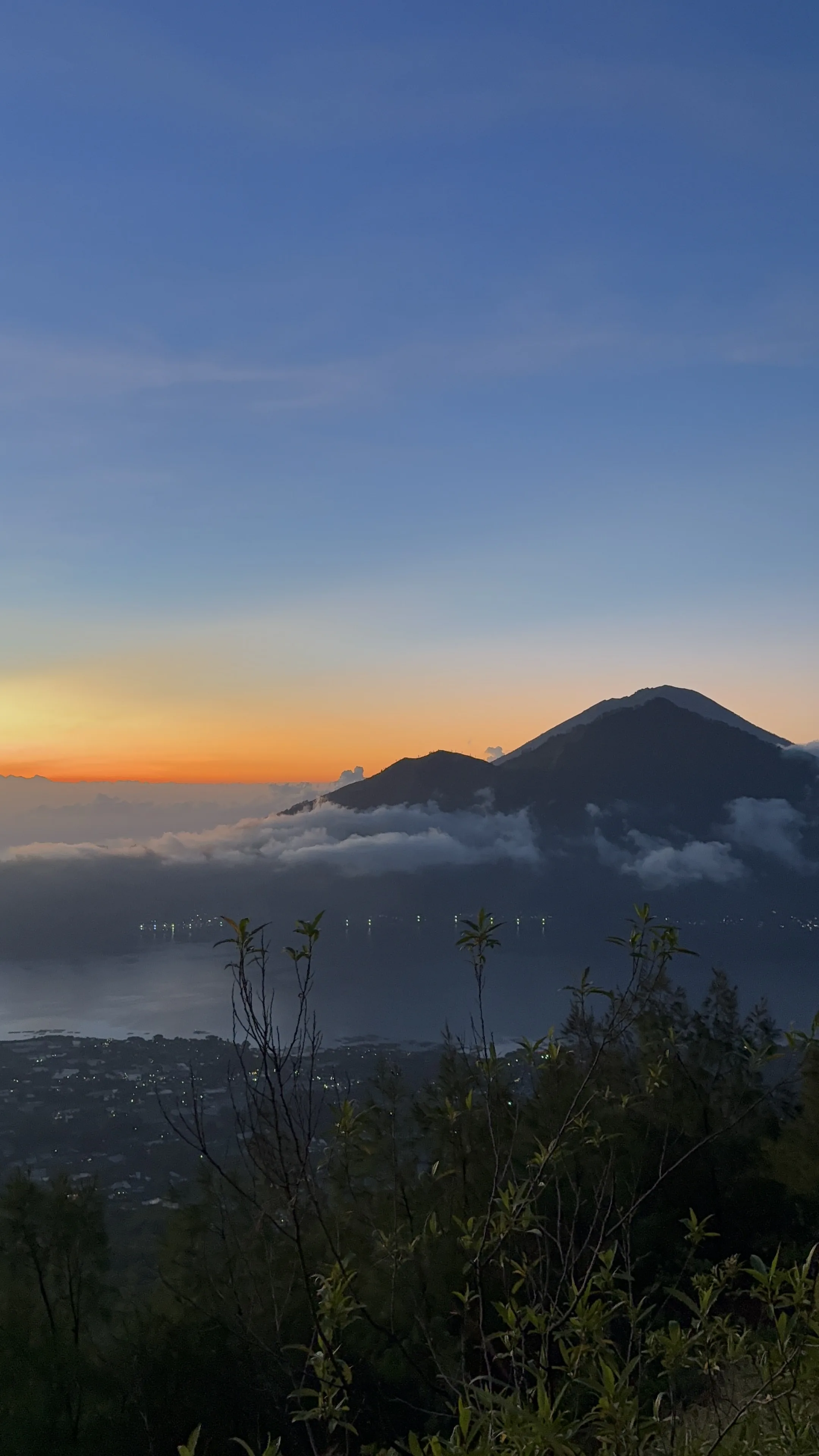
There is a moment, somewhere around 2,500 metres above sea level, usually around 5:30am, when the cloud below you turns pink. Not the sky, the cloud. Because you're above it.
You're standing on the rim of Mount Batur, an active volcano in the Kintamani highlands of Bali, and the sun is rising behind the peaks of Lombok's Mount Rinjani across the Lombok Strait. Below you is a sea of white. Above you is orange and purple and the clearest blue you've seen. That is Mount Batur at sunrise. And there is nothing quite like it in Bali.
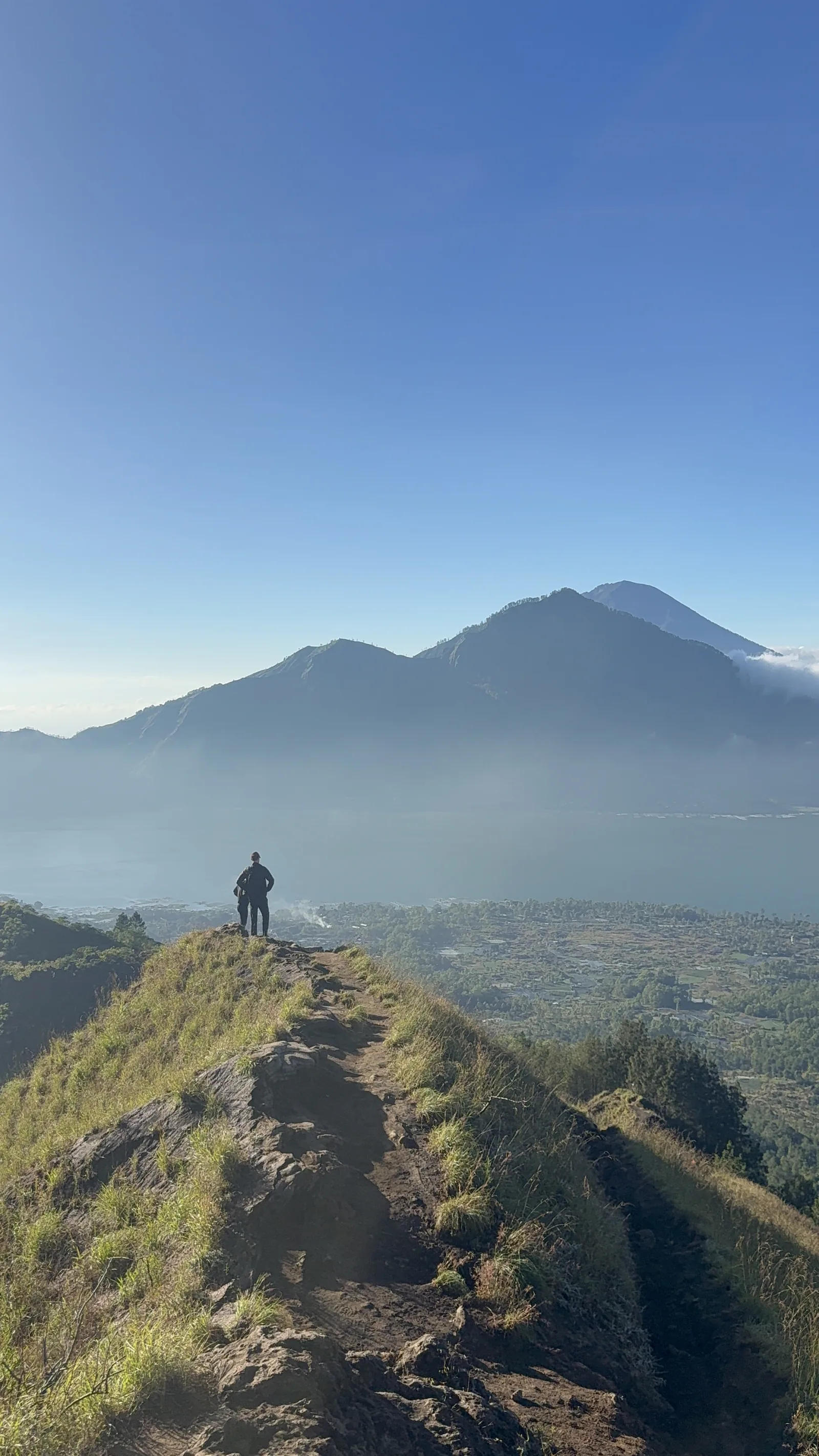
Above the clouds on Mount Batur, the view that makes the 3am start worth it.
What is Mount Batur?
Mount Batur (Gunung Batur) is an active stratovolcano in the Kintamani highlands of Bali, standing 1,717 metres above sea level. It last erupted in 2000, and minor volcanic activity is still visible as steam venting from the caldera walls. It sits at the edge of a collapsed ancient caldera, with Lake Batur, the largest lake in Bali, filling the valley floor below.
The wider caldera is significant enough that it was designated the Batur UNESCO Global Geopark in 2012, recognising both its geology and the farming communities that have lived on its slopes for centuries. Views from the summit take in the lake, Mount Agung to the east, and on clear mornings all the way across to Lombok.
The Two Trek Options
We run Batur at two levels. The difference is not just distance, it is how much loose volcanic ground you are willing to climb in the dark. Most first-time visitors take Level 1, and it is genuinely the right choice for the majority of people.
| Level 1 · Sunrise Trek | Level 2 · Summit Expedition | |
|---|---|---|
| Who it's for | Anyone with average fitness. No experience needed. | Hikers who want more elevation gain and a real challenge. |
| Distance | ~5 km round trip | ~8 km round trip |
| Time up | 2.5–3 hours | 3.5–4 hours |
| Time down | 1.5–2 hours | 2–2.5 hours |
| Difficulty | Easy to moderate | Moderate to hard. Loose volcanic scree and more technical sections. |
| Pickup | ~3:30–4:00am | ~2:30–3:00am |
| Included | Experienced guide, hotel transfers, volcanic steam-cooked breakfast at the summit, photos. | Everything in Level 1, plus the higher summit and the full caldera view. |
Level 1 is classic Batur: volcanic rock fields in darkness, the crater rim at dawn, and the cloud sea below. Level 2 trades an extra hour of sleep for a quieter summit and a 360-degree view over the caldera, Lake Batur and Mount Agung. If you hike regularly at home, take Level 2. If you are unsure, take Level 1 and enjoy it.
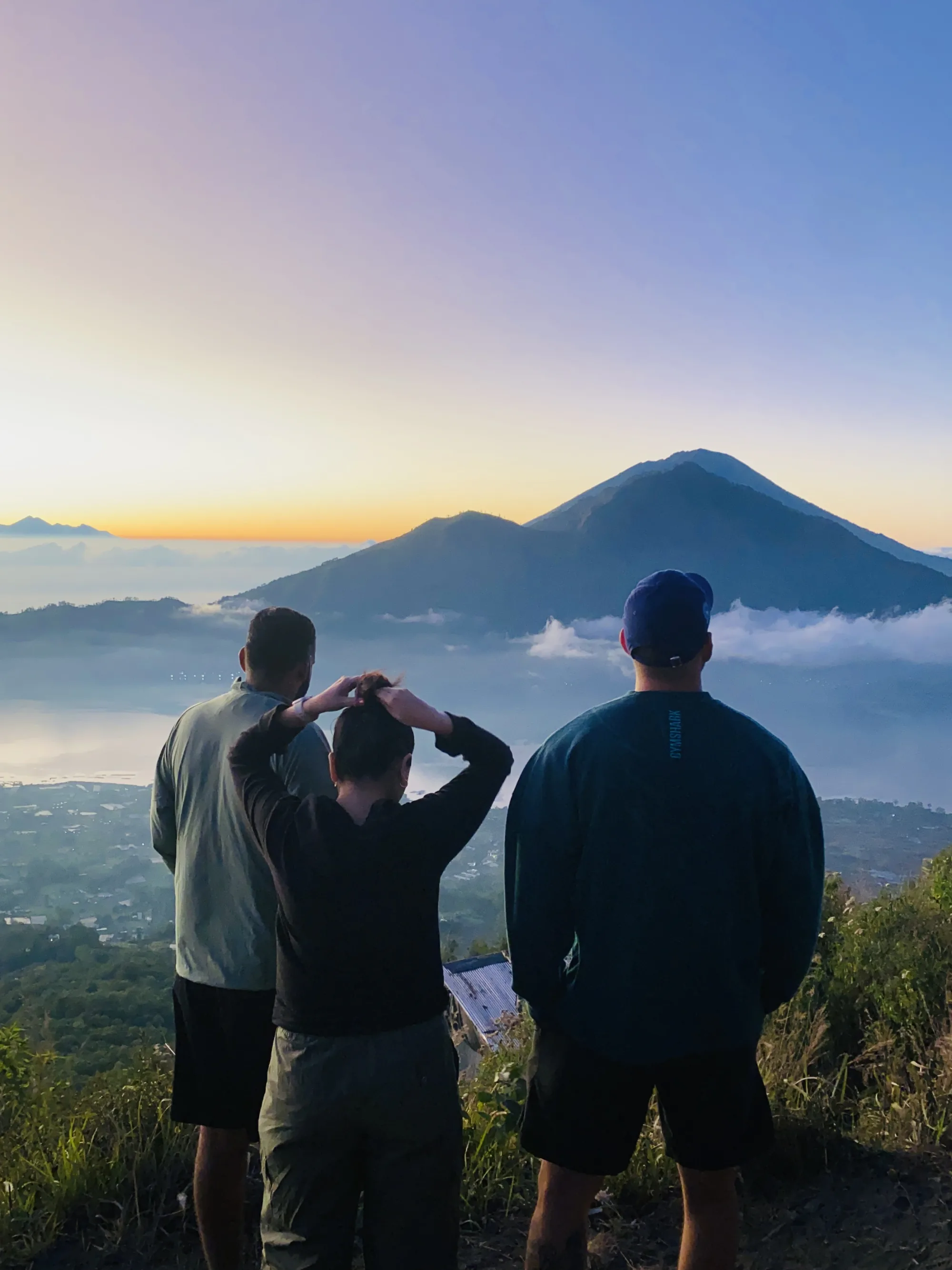
Level 2 summit, 360° views of the Batur caldera, Lake Batur and Mount Agung.
What to Pack
The single most common mistake is dressing for Bali rather than for altitude before dawn. You will start in warm, humid air and finish sitting still at 1,717 metres waiting for the sun. Those are very different temperatures.
- Essential: headtorch (not just your phone), fleece or jacket, walking shoes with grip, 1–1.5 L water, a light snack, camera.
- Useful: thin gloves, light rain layer, small daypack under 5 kg.
- Leave behind: heavy bags, and anything you don't want to carry uphill in the dark.
A headtorch matters more than people expect. Holding a phone in one hand on loose scree costs you balance exactly where you want both hands free.
What to Expect: Hour by Hour
- 3:00am, your Fitrip guide picks you up from your hotel or villa. Drive of roughly 1.5–2 hours to the Batur base camp.
- 4:30am, the trek begins. Forest path, cool and dark, headtorch on volcanic rock.
- 5:00am, forest gives way to open volcanic terrain. The eastern horizon starts to lighten.
- 5:30–6:00am, summit. Cloud sea below, sun behind Rinjani, breakfast cooked in the volcanic steam vents.
- 6:30–7:30am, descent, considerably faster. Back at base camp by around 8:00am.
- 9:00am, back at your hotel or villa. Showered, fed, and with the whole day still ahead of you.
Thinking about booking Mount Batur with Fitrip? We run Level 1 and Level 2 treks year-round, small groups, experienced guides, villa pickup included.
Best Time to Trek Mount Batur
Bali has two seasons, and they change the odds rather than the experience. In the dry season, April to October, skies are clearest and a clean sunrise is most reliable. July and August are the busiest months on the mountain, so an earlier Level 2 departure buys you a quieter summit.
In the green season, November to March, there is more cloud and a higher chance of rain, but the landscape is greener and the mountain is far less crowded. Being above a thick cloud layer is its own kind of spectacular, and it happens more often in these months, not less.
Full moon treks are worth asking about. On the upper sections you barely need a torch, and the whole caldera is lit silver.
Is Mount Batur Safe to Climb?
Batur is an active volcano, and that is a fair question rather than an alarming one. Activity is continuously monitored by PVMBG, Indonesia's Center for Volcanology and Geological Hazard Mitigation, which publishes the current alert level for every Indonesian volcano. Fitrip treks run only at safe activity levels, and all our guides carry communication equipment.
The more everyday risks are footing and cold. The descent is where most slips happen, because the scree is loose and people are tired and moving quickly. Good shoes and an unhurried pace down solve almost all of it.
Batur or Agung: Which Should You Climb?
Mount Agung, at 3,031 metres, is Bali's highest peak and its most sacred. It is also a substantially harder climb: longer, steeper, and typically 6–7 hours up rather than 3. For most visitors with a few days in Bali, Batur is the better trek. It delivers the same above-the-clouds sunrise for roughly half the effort, and you are back at your villa by mid-morning rather than wrecked for the following day.
If you have serious hiking experience and a spare recovery day, Agung is extraordinary. If this is your first volcano, start with Batur.